|
Hurricane Emily
Forecasts - News - Links |
News HaitiAction.net |
||||
The Hurricane Ivan page for yesterday,
Sept 10 2004
Vanguard Public Foundation's
Haiti Emergency
Relief Fund
 Hurricane Emily
Satellite Images - Forecasts - News - Links
| ABNT20 KNHC 102106 TWOAT
From: TROPICAL WEATHER OUTLOOK NWS TPC/NATIONAL HURRICANE CENTER MIAMI FL 530 PM EDT SUN JUL 10 2005 A VIGOROUS TROPICAL WAVE...ACCOMPANIED BY A WELL-DEFINED LOW PRESSURE AREA...IS LOCATED ABOUT 1180 MILES EAST OF THE SOUTHERN LESSER ANTILLES. THIS SYSTEM HAS CONTINUED TO BECOME BETTER ORGANIZED...AND CONDITIONS ARE FAVORABLE FOR A TROPICAL DEPRESSION TO DEVELOP LATER TONIGHT OR ON MONDAY AS IT MOVES WESTWARD AT 10 TO 15 MPH. |
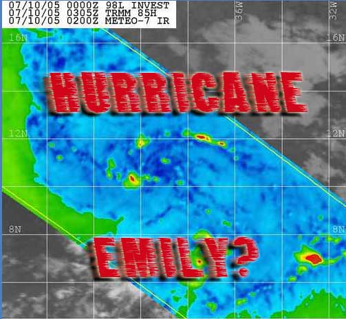
Haiti might see threat by Hurricane Emily at the end of next weekSeen early this morning above eastern Brazil, a tropical depression — 98L Invest — started the ominous tropical cyclone formation in Hurricane Alley. Even though the murderous PNH (Haitian National Police) — assisted by the UN occupation forces — proved to be deadlier than Hurricane Dennis, Storm Emily could become a major concern for Haiti in the next couple of weeks. In the next couple of days 98L Invest should take on a definite formation as the rising air currents of the Western Atlantic provide the Caribbean with the fifth tropical cyclone of the 2005 Hurricane season. Currently this "tropical wave" is unnamed. If it consolidates further into a "tropical storm" it could take on the name "Emily." We plan on tracking this and future storms for the HaitiAction.net readers so that we can provide Hurricane information and links that will be primarily focused on Haiti. This information is not intended to replace official notices and warnings provided by the weather service: http://www.nhc.noaa.gov/index.shtml?text |
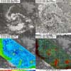
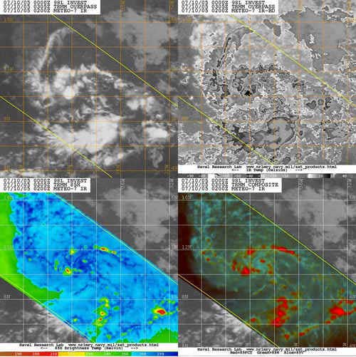
| July 10 2005 - Satellite images of 98L Invest this morning located above Brazil. It may become Storm Emily soon and threaten Haiti by the end of next week.
From: NRL Monterey Marine Meteorology Division (Code 7500) Tropical Cyclone Page - 98L.INVEST, TMI_85H, 10 JUL 2005 0305Z |
Links for Latest Info on Emily
|