Storm DEAN Page
updated: Friday, August 31, 2007
Regional Storms at 
HaitiAction.net 
About Events Talk News Links Home

 Also visit www.haitiactioncommittee.org companion website of the Haiti Action Committee

click for larger image
 Hurricane Dean
  on HaitiAction.net

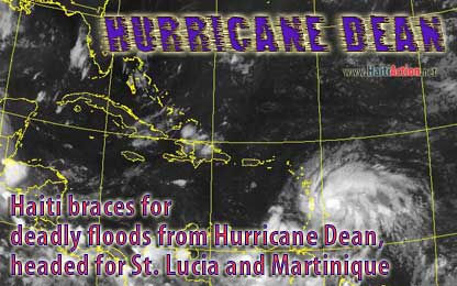
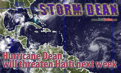
Aug 17 2007 - Hurricane Dean could miss Haiti, next few hours will tell more about the effect of the steering currents

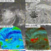
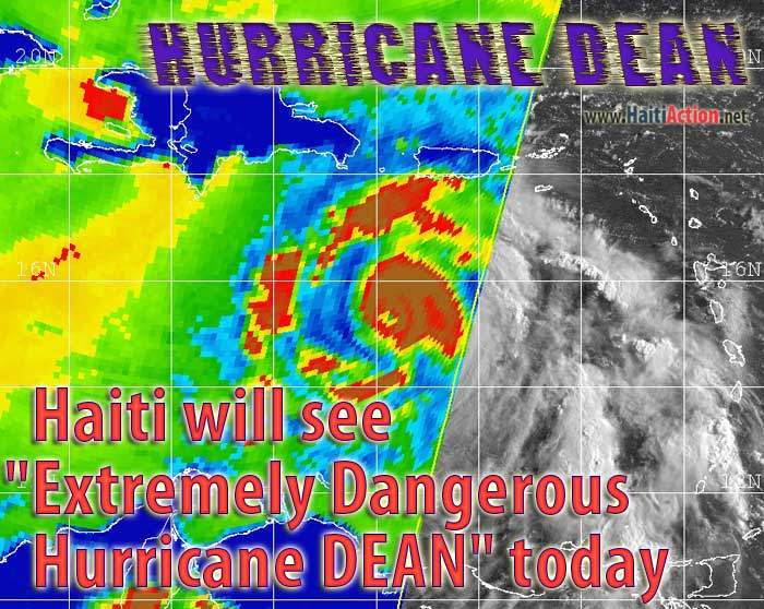
HIRes infrared satellite image of Caribbean shoing Extremely Dangerous Hurricane Dean 250 mi sout of Puerto Rico

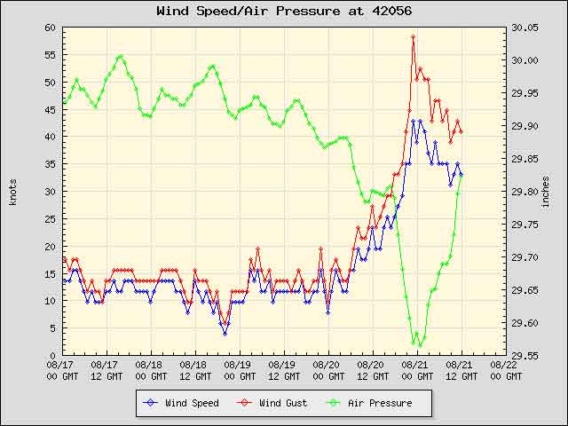
Conditions at 42056 as of 5:50 pm CDT - Extremely Dangerous Hurricane Dean approaches NDBC Buoy Station 42056 - Yucatan Basin - the air pressure drops and the wind increases - click the chart for the latest report from the buoy itself. Hurricane Dean passes the buoy at this point 220 miles directly south on its way through the Yuacatan Peninsula. See also Station 42055 - Bay of Campeche — location shown on ATCF map below

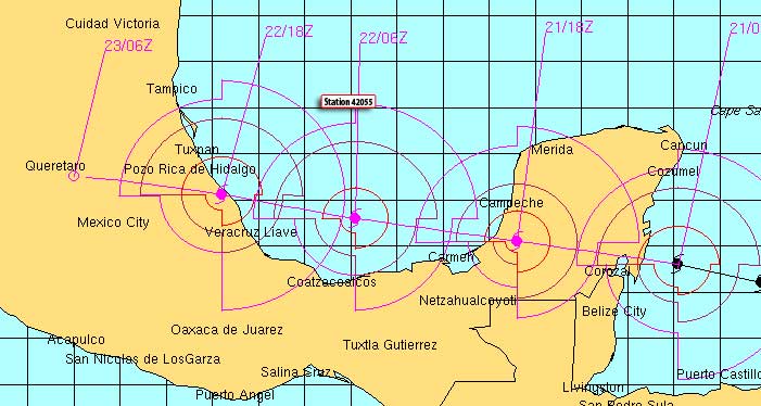
Automated Tropical Cyclone Forecasting (ATCF) map from NRL Advisory 33 - August 21
ATCF Support Page
click map above for latest version and larger map
 
Excerpts from the recent National Hurricane Center advisories:
 

AHP August 22, 2007 1 :35 PM

The toll of Hurricane Dean reaches 9 deaths and one disappearance: a new tropical depression traverses the coasts of Haiti

Port-au-Prince, August 22, 2007 (AHP)- The toll left behind by Hurricane Dean has climbed to 9 dead, one disappearance and 25 people injured, according to the director of the National Office of Civil Protection, Dieufort Deslorges.

Mr. Deslorges said Wednesday that more than 4,000 families have been made victims by the disaster, with more than 1,000 homes destroyed and over 3,000 damaged in the South, Southeast, Grande-Anse, Nippes and West regions.

Some 40 schools have also been damaged in some of the Departments mentioned above, and plantings have been ravaged. More than 800 people have received emergency shelter, he said.

Dieufort Deslorges explained that he is awaiting the disbursement of funds promised by the government before intensifying assistance to the disaster victims.

The National Weather Center announced that a tropical depression is currently passing along Haiti's coasts.

The office of risk and disaster management urged the public to exercise caution and be on the alert.


HaitiAction.net Links Latest Info on Tropical Cyclones for Caribbean
  1. Caribbean/Gulf Satellite movie
    takes a couple minutes to download on DSL
  2. NRL Tropical Cyclone Page
    Monterey Marine Meteorology Division
  3. National Hurricane Center
    Tropical Prediction Center Text only version Latest ALERT bulletins
  4. NOAA Storm DEAN Tracker
    Compiles many resources on one window
  5. AccuWeather.com - Latest
    Atlantic Satellite Overview Best map to see what's coming down Hurricane Alley
  6. NRL Tropical Support Page
    NMOC - Norfolk, VA
  7. National Weather Service Forecast Office San Juan, Puerto Rico
  8. Jamaica Observer
  9. Tropical Cyclones - University of Wisconson Cooperative Institute for Meteorological Satellite Studies.
  10. NDBC Buoy
    Station 42056 - Yucatan Basin
  11. Latest Observations near Storm
1 knots = 1.15077945 mph

The Saffir-Simpson Hurricane Scale
What "Category 1-2-3-4-5" means

Key to offical Tracking Chart symbols
click above link to get original Powerpoint file